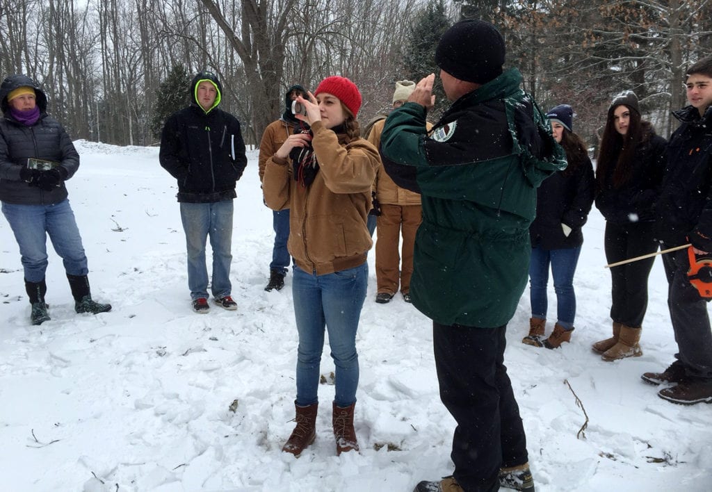
 Maine Forest Inventory Growth (FIG) is a field based, exploratory program developed by Maine Project Learning Tree that connects students to Maine forests.
FIG plots are areas of forest set up as long term sampling areas by forestry professionals, University of Maine professors and high school science teachers. Year after year the same measurements and observations made at FIG plots. Some teachers and students have been collecting data for over 10 years!
The long-term datasets created by monitoring FIG plots tell us about the health of forests and help researchers determine how forests are changing over time. Foresters have been using these datasets to manage forests for ecological health and economic productivity.
There are many ways to link FIG to your high school or middle school curriculum. Below are some links to resources created by Maine Audubon, as well as other citizen science projects and resources that can help you frame the FIG experience in ways that work for your learners.
Maine Audubon supports Project FIG and other direct means of helping teachers and students utilize hands on citizen science to develop 21st century skills and contribute meaningful data to ongoing ecological field research. Maine Audubon also seeks to engage students and the public in rich opportunities to study and experience the countless benefits of Maine’s forests to both people and wildlife.
Learn more about Project FIG on the Maine FIG website.
Aligning Citizen Science Projects
iNaturalist
iNaturalist is a web site and community for reporting observations of plant or animal species around the world. Special projects can be designed for any specific location such as a school or local natural area. Download the iNaturalist app for Apple or Android.
Teacher Resources Related to iNaturalist:
- How to Record Your Observation on iNaturalist Using a Mobile Device [pdf]
- iNaturalist Worksheet 1 – Created by Maine Audubon and designed to be used if you do not have access to devices to input data in the field. [pdf]
- iNaturalist Worksheet 2 – Created by King Middle School and designed for a specific project focusing on plants and insects. [pdf]
Signs of the Season
Using their backyards as laboratories, participants in the Signs of the Seasons program help scientists document the local effects of global climate change. You can use an app, Nature’s Notebook, that makes recording data for Signs of the Seasons much easier. Download Nature’s Notebook for Apple or Android.
Beginning with Habitat
A very useful tool for educators is a set of habitat maps of your area. Free maps are available as either downloadable digital maps or large format paper maps. Not all Maine towns or regions have been mapped and maps older than two years are out-of-date and unavailable. Click here to see if your town is available or to request maps.
Available Maps:
- Map 1 – Water Resources & Riparian Habitats
- Map 2 – High Value Plant & Animal Habitats
- Map 3 – Undeveloped Habitat Blocks & Conserved Lands
- Map 7 – Wetlands Characterization
- Map 8 – USFWS Priority Trust Species Habitat
Maine Audubon has developed a lesson to acquaint your students with these maps and wildlife habitat requirements. To do this activity you should have a set of maps and a copy of Table 1 from the Maine Audubon publication, Conserving Wildlife in Maine’s Developing Landscape available for the students.
Teacher Resource Related to Beginning with Habitat
- Habitat Map Lesson [pdf]
Other Related Citizen Science Projects
eBird
eBird is a real-time, online checklist program for recording birds. Launched in 2002 by the Cornell Lab of Ornithology and National Audubon Society, eBird is amassing one of the largest and fastest growing biodiversity data resources in existence. Species maps and data can be downloaded and there is an app that makes recording data much easier.
Download the eBird app for Apple or Android.
Teacher resources related to eBird:
- eBird Page for Maine
- Bird Sleuth – A resource for using eBird with students
- More Free Bird Sleuth Resources
Yardmap
Yardmap is an interactive citizen science project that allows you to draw maps of yards, parks and community gardens. You share valuable habitat data with Lab of Ornithology scientists, connect with people around the country and learn about your ability to impact birds.
Vital Signs
Vital Signs partners Maine students with scientists and citizen scientists to investigate current issues and contribute valuable data to real environmental research.
Additional Forest Ecology Resources
Forestry for Maine Birds
Forestry for Maine Birds works to create more and better bird habitat through forest management that will benefit not only the songbirds of conservation concern, but many other wildlife species that use these habitats as well.
Maine Audubon Resources & Publications
